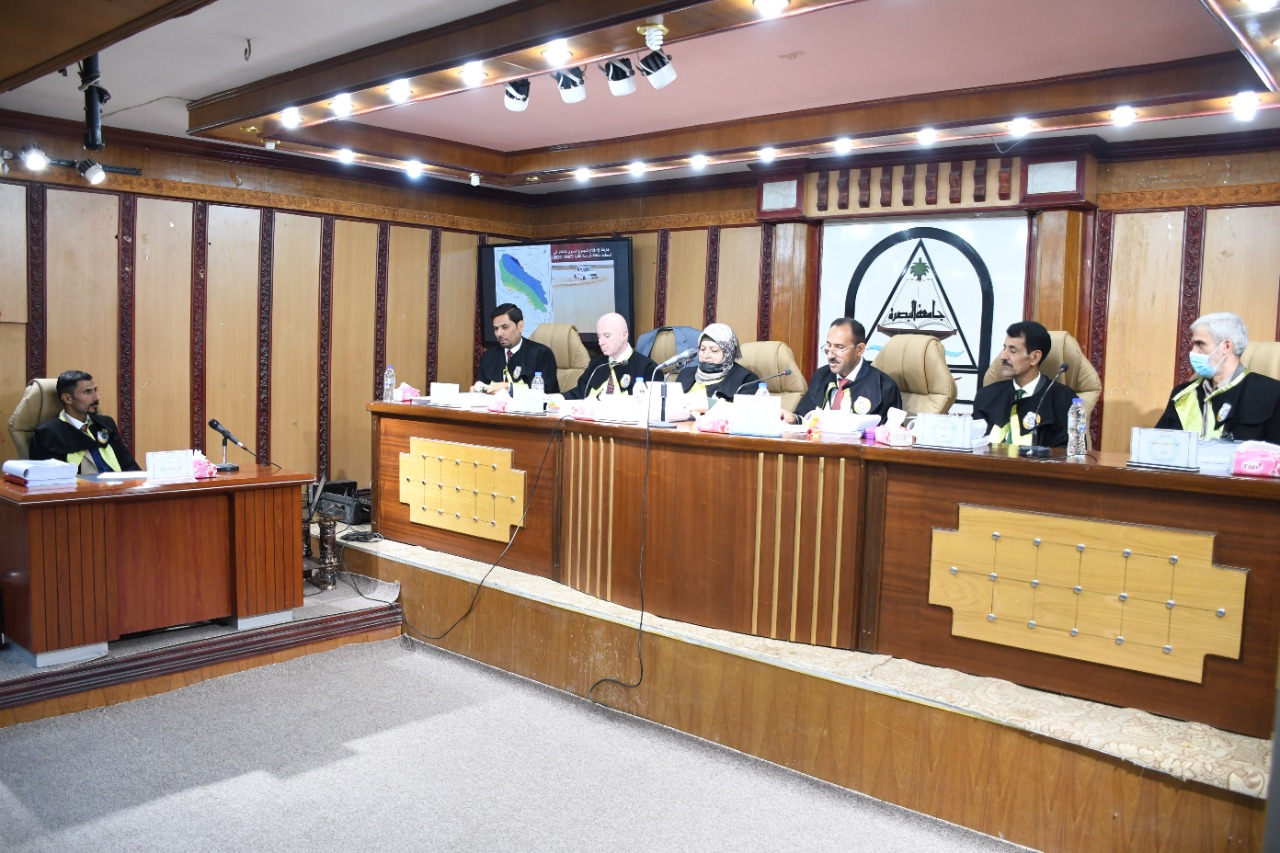

On Thursday morning, 21/4/2022, a PhD thesis, entitled (Hydrogeomorphological hazards in eastern Iraq between the Diyala and Karkha rivers, using modern geographical techniques / College of Arts, University of Basrah), was discussed at the Department of Geography and GIS.
The thesis submitted by the student Ali Taleb Hamza included six chapters. The first chapter discussed the natural characteristics of the study area, the second chapter included morphotectonic risks, the third chapter discussed the hydromorphometric risks of the basins of the study area, the fourth chapter dealt with the risks of geomorphological processes, the fifth chapter focused on the hydrogeomorphological assessment of the study area, and the sixth chapter dealt with the geoenvironmental assessment for the study area.
The thesis aims to identify the natural characteristics of the area and its role in the activity of hydrogeomorphological hazards and their spatial variation, determine the structural, and tectonic characteristics and their role in tectonic and seismic activity and their impact on human activity, study the morphometric and hydrological characteristics and their role in torrential flow and floods and their impact on human activity, and study the terrain characteristics and their role in the activity of morphodynamic processes.
The thesis recommended the establishment of climatic stations to provide data, especially in the highlands and headwaters of the rivers due to the lack of them in the region, which is the basis on which it is relied upon and used in climatic studies, hydrological and geomorphological studies, engineering and agricultural studies, and the necessity of establishing hydrological stations in the study area in the areas of basins with high drainage to know the true quantities and then determine the possibility of investing them in the field of development through the work of water harvesting for basins and work on the development of agriculture and natural pastures to reduce risks first and increase agricultural and animal production as the two dominant activities in the region and work on the implementation of the proposed dams in the study area due to the development and reduction of the risks of floods, water erosion and taking advantage of the water held during droughts for drinking purposes and irrigating agricultural lands in order to achieve agricultural development and also for tourism purposes.
Important News


.jpeg)