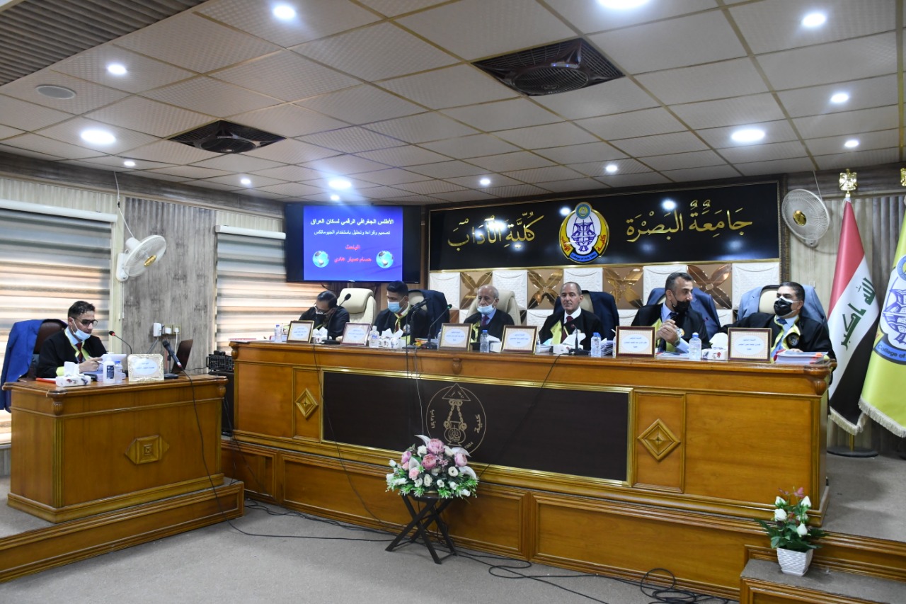
A doctoral thesis entitled "The Digital Geographical Atlas of the Population of Iraq - Design, Reading and Analysis by Using Geomatics" was discussed in the Department of Geography and Geographical Information Systems, College of Arts on Thursday, 29/7/2021.
The thesis presented by the student Hussam Sabbar Hadi included five chapters. The first chapter discussed the theoretical and practical foundations of the study. The second chapter included maps of the geographical distribution of Iraq's population. The third chapter dealt with population growth maps in Iraq. The fourth chapter involved maps of the population structure in Iraq. The fifth chapter examined the maps of population projections and estimating their future needs.
The thesis aims to prepare an integrated population atlas that includes a set of maps designed using modern geographical techniques and linked to databases and digital information that can be referenced and updated when needed, as well as reading and analyzing these maps according to various statistical and cartographic standards and indicators.
After a long and arduous research journey, the study concluded with a number of results that explain in general the importance of digital population atlases, and stress the need to employ modern geographic techniques in their preparation, design and production.
The thesis discussed the characteristics of the population of Iraq, how they are distributed spatially, and what are the features of that distribution between urban and rural, and showed their density, patterns of concentration, their natural growth rates of births and deaths, and where their internal and external movements are heading, and revealed a discrepancy in the characteristics of their qualitative, age, economic and social composition.

Important News